Thank you for your patience as we rebuild our website! 2020-2025
The “Remembering Shared Honor” (RSH) project sets out to collect and preserve oral histories related to Chinese and American cooperation during the Second World War in the China-Burma-India(CBI) theater of war.
This historical archive has a total of 7,078 entries.
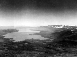
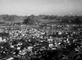
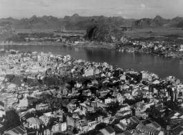
Aerial view looking south over Erhai Lake (洱海) in Yunnan, during WWII. The town of Dali (大理), familiar to so many drivers on the Burma Road, is on the far end, in the distant haze.